Defense & intelligence
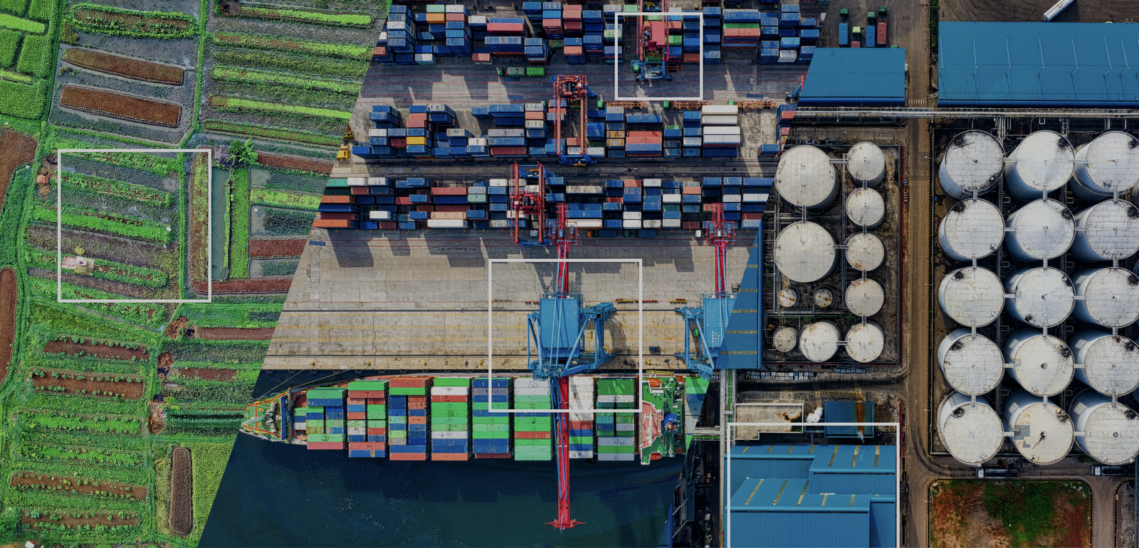
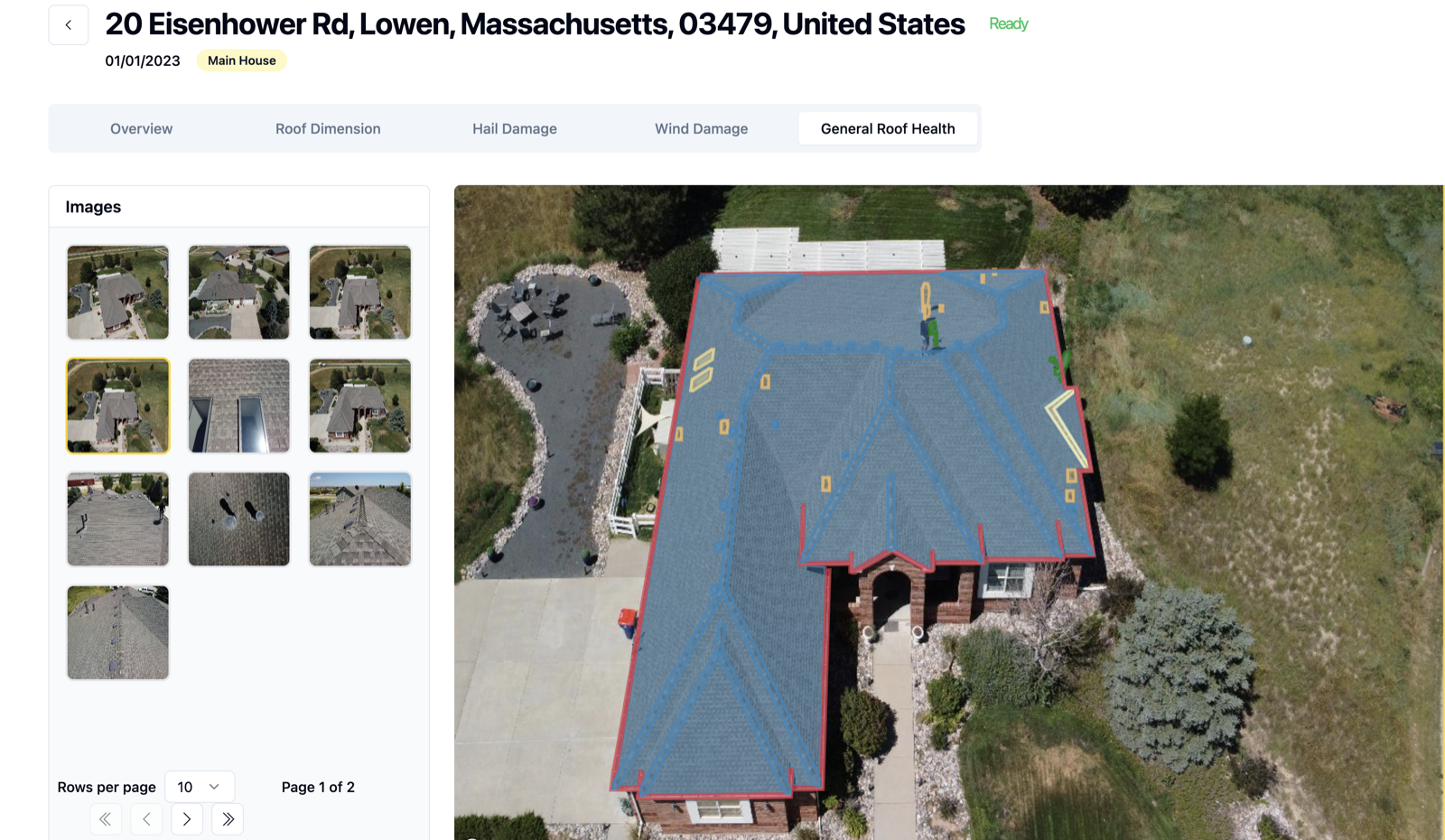
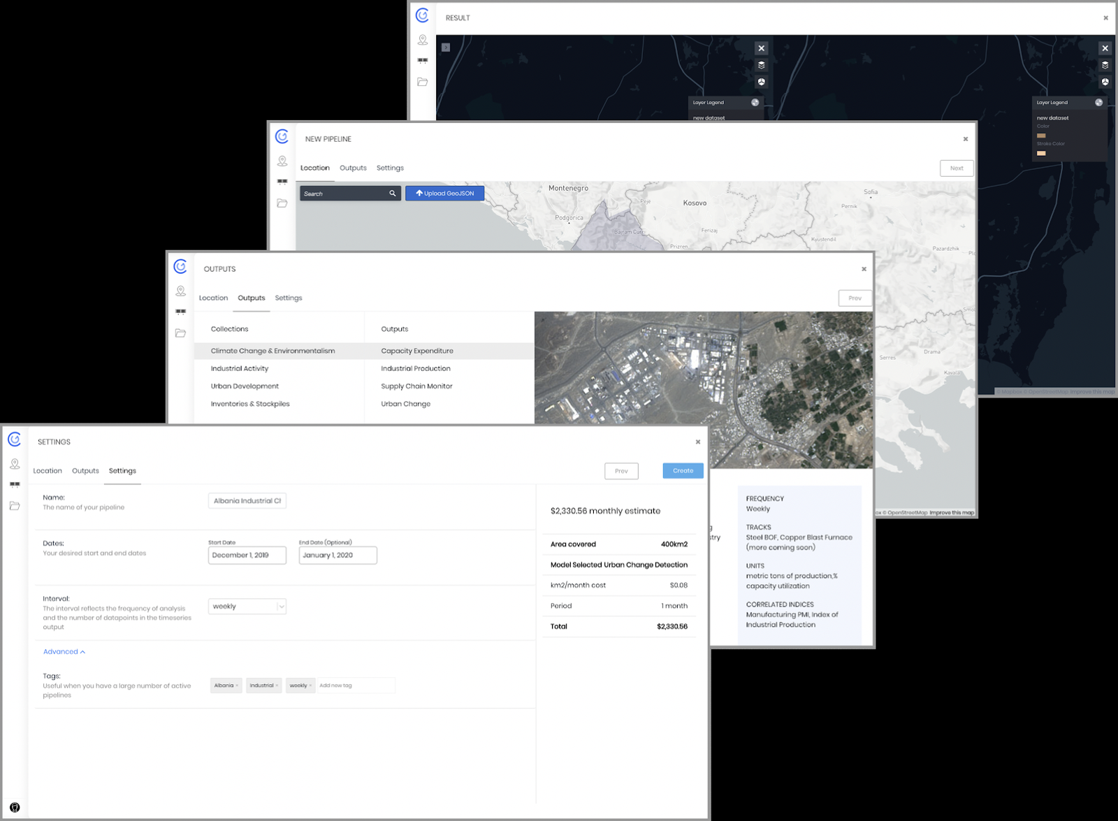
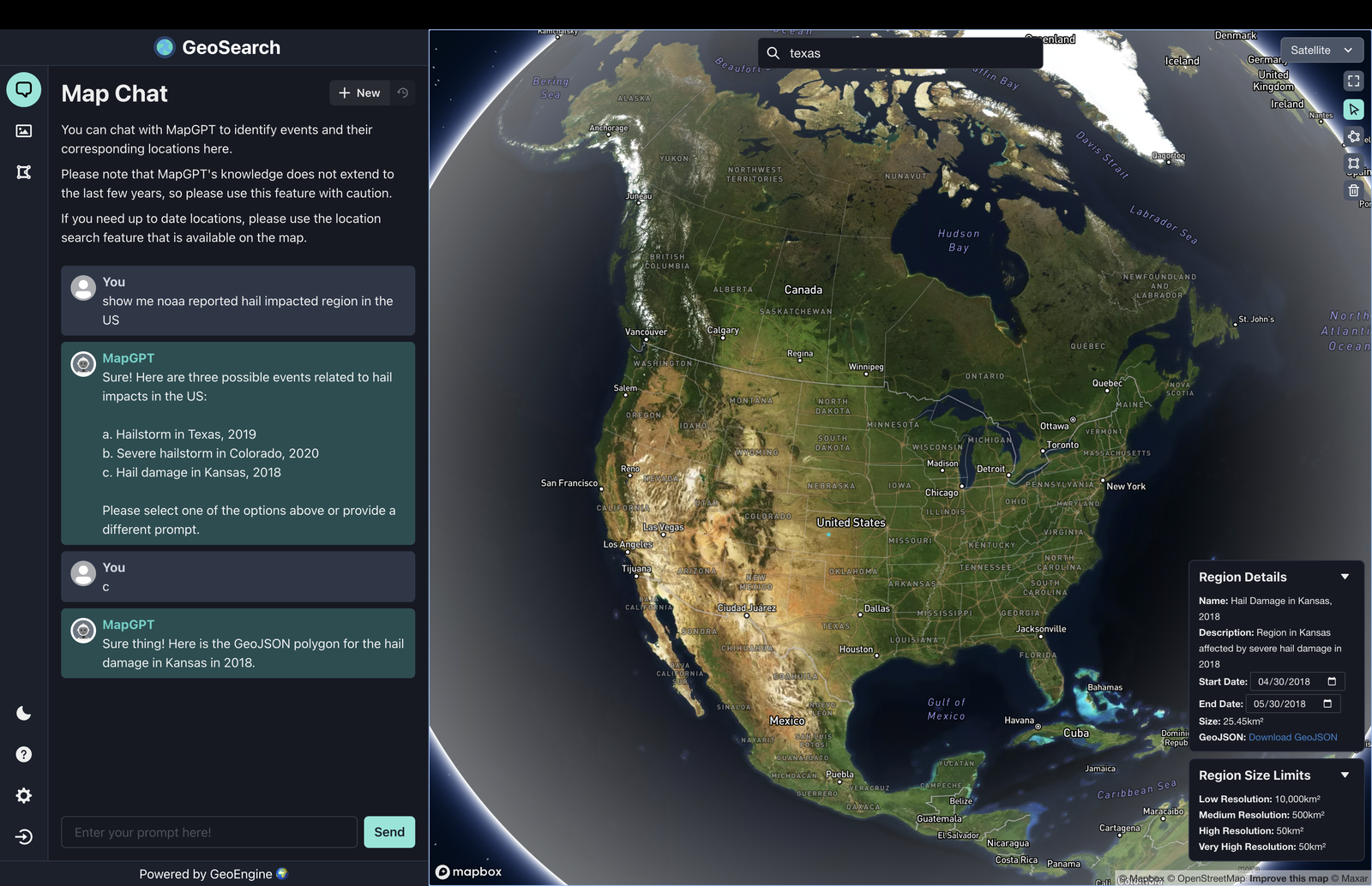
Industrial site monitoring, search-space reduction, and geospatial discovery prototypes delivered under AFRL and NGA programs. GeoEngine and Neso are the production stack underneath.
- Penguin sites + BlackSky monitoring (AFRL/SDL)
- gSEARCH — unified RVA/NUDL discovery
- NGA Source Foundation ecosystem work